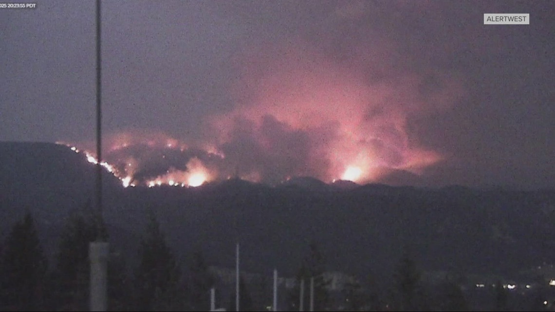
There are Level 1, 2 and 3 evacuations around the Lower Sugarloaf fire 12 miles north of Leavenworth.
CHELAN COUNTY, Wash. — The Sugarloaf fire in Chelan County is prompting evacuations two days after it sparked in central Washington.
The Lower Sugarloaf fire was first reported on Monday, around 12 miles north of Leavenworth. The fire exploded in size from 100 acres to 6,222 acres Thursday, according to the Northwest Interagency Fire Center.
Chelan County has issued Level 3, Go Now! evacuations for Mad River Road from address 427 and up. Level 2 evacuations are in place for Mad River Road up to address 426, Arden Road, River Road, Moe Ride Road, Mill Street, Red Hill Road and Two River Road. People who live in these areas should be prepared to leave at a moment’s notice.
Level 1 evacuations are in place for Nahahum Canyon, including Indian Rock Lane and up, Olalla at milepost 1 and up, Hay Canyon from the end of the pavement up, Derby Canyon Road from 9088 and up, and Entiat River Road from Roaring Creek Road to Mud Creek, to include Roaring Creek Road.
For the most up-to-date evacuation levels, check this map updated by Chelan County Emergency Management.
People who don’t live in the Entiat River Valley are directed to stay away from Entiat River Road as it’s needed by first responders and people who are evacuating from the area.
People are also asked to stay away from the Mad River Trail System, the Tommy Creek area, Tyee area, French Corral and Pine Flats Campground, in addition to Merry Canyon, Second Creek, Eagle Creek, Van Creek, Derby Canyon and Chumstick Mountain areas on the Wenatchee River Ranger District.
Officials say they are seeing “extreme fire behavior,” and dry and gusty conditions persist in the area. A Red Flag Warning is in effect for the east side of the Cascades until Thursday at 9 p.m.


